Pacific waters brace for a natural climate event that have potential drastic implications throughout the world.
The National Oceanic and Atmospheric Administration (NOAA) set their El Niño/Southern Oscillation Status to “El Niño Watch” on March 12, as they predict that future weather conditions would spur its development.
The latest forecast hypothesizes a 62 percent chance that El Niño develops between June and August, as the odds rise in the fall months. An El Niño event is when sea surface temperatures in the central and eastern Pacific rise, which greatly affect weather patterns throughout the world.
Predictions issued at this time of year are typically less reliable due to the so-called boreal spring predictability barrier, a well-known limitation affecting ENSO outlook skill, according to the World Meteorological Organization (WMO).
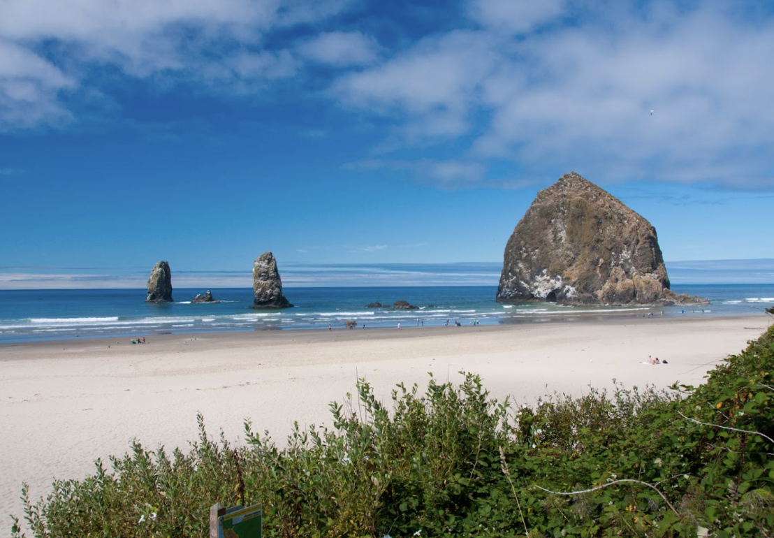
According to NOAA, warmer Pacific waters cause its jet stream, fast winds that serve as an atmospheric barrier between warmer and cooler air, to move to a more southern position. This wind migration leaves swaths of the northwestern United States, particularly the Pacific Northwest, drier and warmer than usual.
Conversely, the now southern jet stream brings excess moisture to the Southwest United States, as heavy flooding extends even to the gulf and Atlantic coasts.
El Niño events typically cause elevated hurricane activity in the Eastern Pacific, but suppress activity on the Atlantic coast.
“It will likely suppress the 2026 Atlantic hurricane season somewhat, with increased sinking air and upper level wind shear over the Atlantic,” Andy Hazelton said. Hazelton is an associate scientist at the University of Miami’s Cooperative Institute for Marine and Atmospheric Studies.
Warmer pacific waters elevate the global temperature as well. The last El Niño event started in the middle of 2023 and wrapped up during the spring of 2024. This caused 2024 to be the hottest year on record, according to the NOAA.